The observational program consists of a series of mooring deployments and boat-based transect measurements to capture the dominant contributions to variability in waves, currents and water properties on the Mascarene Plateau. Our observations will include measurements of currents, salinity, temperature, waves, water level, and turbulence statistics. This observational data will identify physical oceanographic controls on mass and momentum transport on scales that are relevant to local ecology and fisheries and that determine biological connectivity amongst the Seychelles’ multiple islands. In addition, it will provide validation and forcing input for local scale numerical simulations. We also hope to develop ongoing local ocean-observing capabilities including in situ and autonomous methods through collaboration with local groups.
field work – December 2015

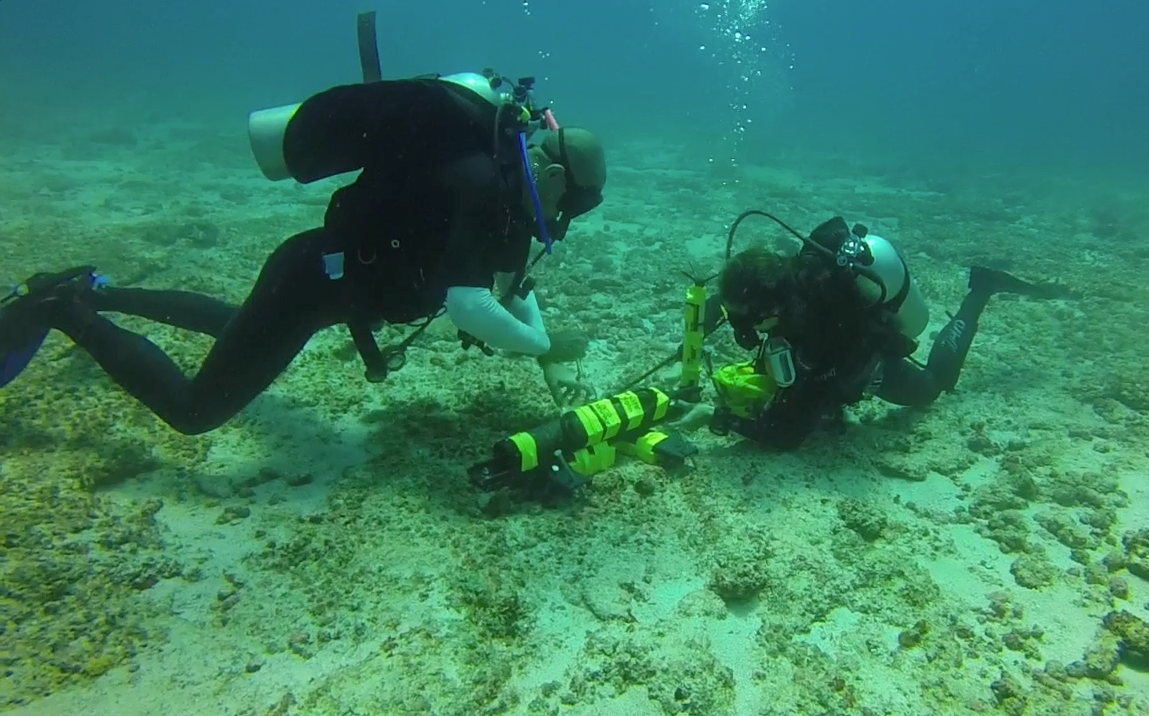
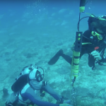
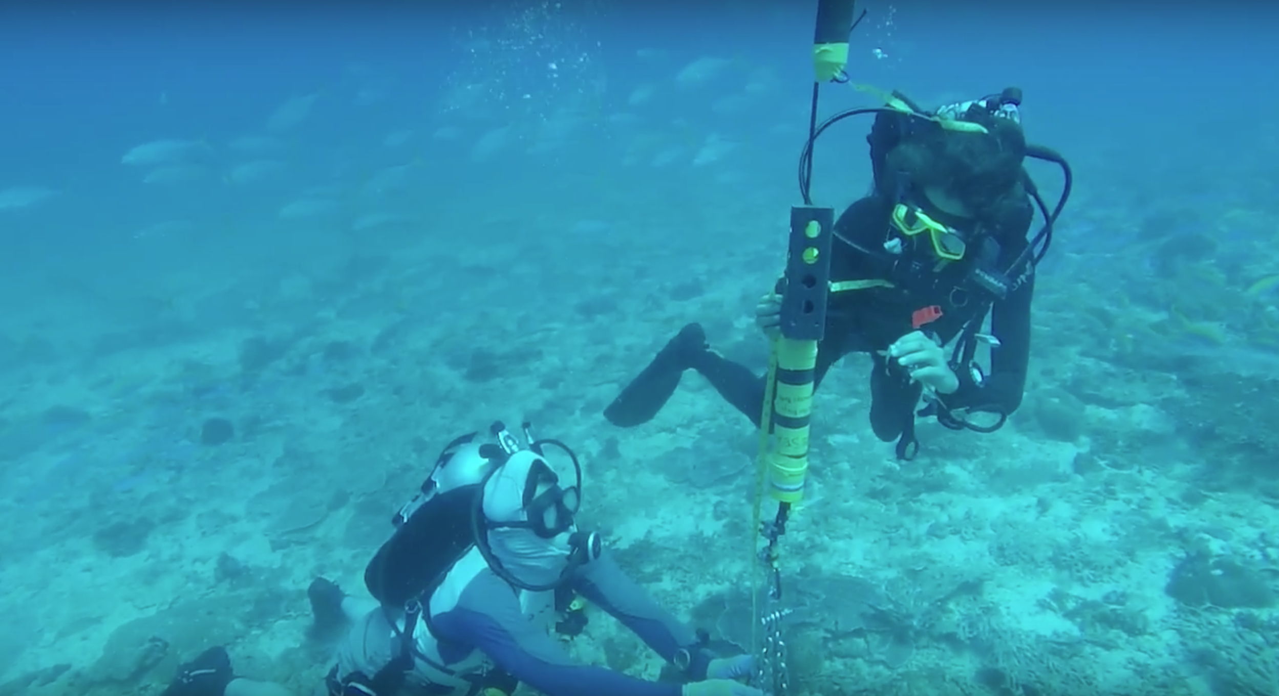
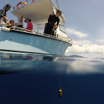
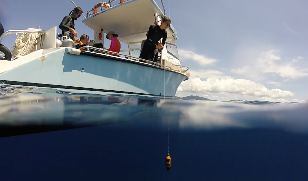
We deployed 2 moorings, one on either side of the main island, Mahe. We also collected vertical profiles of currents, salinity, and temperature along transect lines at the north and south ends of the island. Preliminary analysis shows exciting results!
Left: Map of our instrumentation deployments and transect measurements during December 2015.
below: equipment
-

- Acoustic Doppler Velocimeter (ADV) to measure currents, waves, and turbulence statistics at a point
-

- Acoustic Doppler Current Profiler (ADCP) to measure currents throughout the water column
-

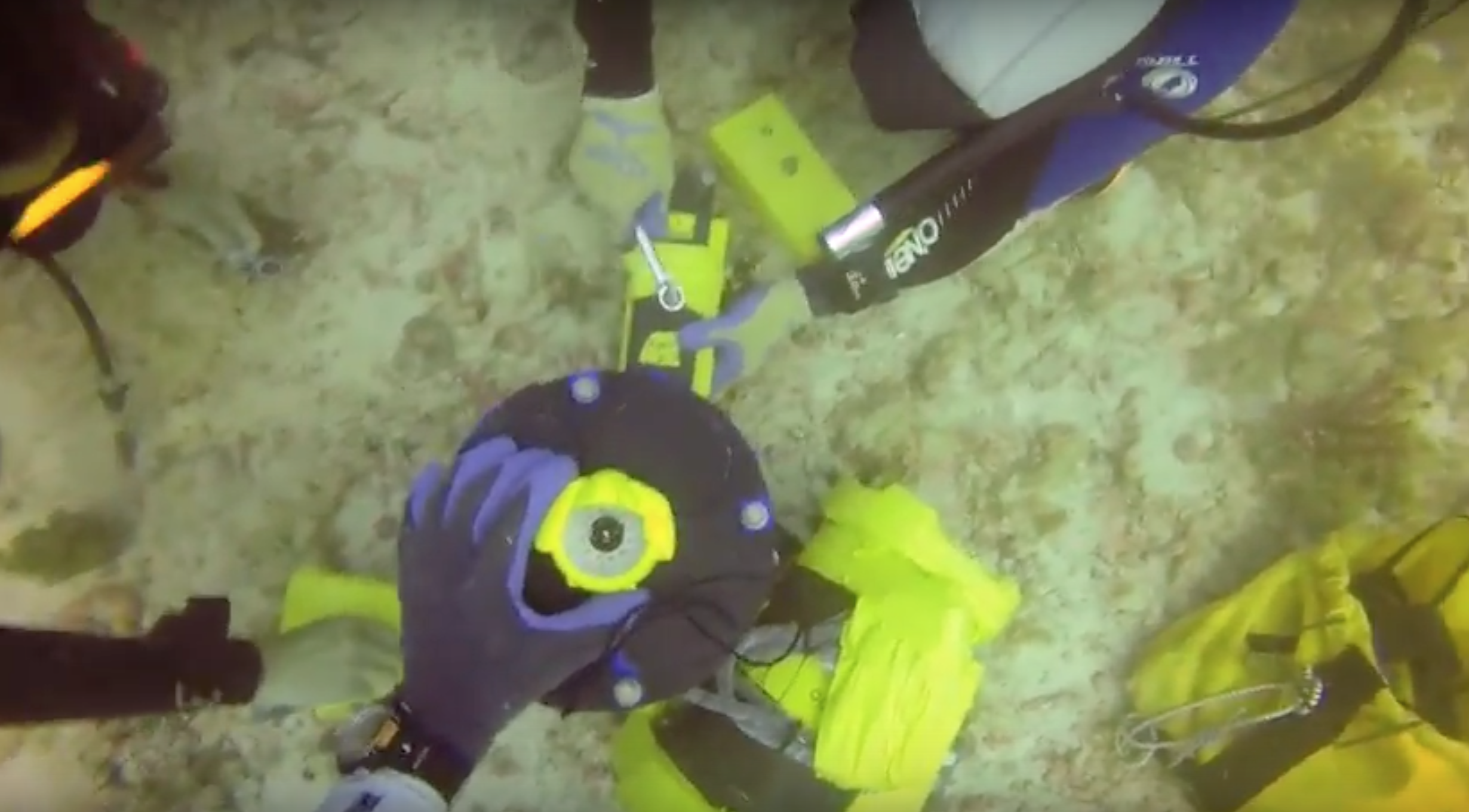
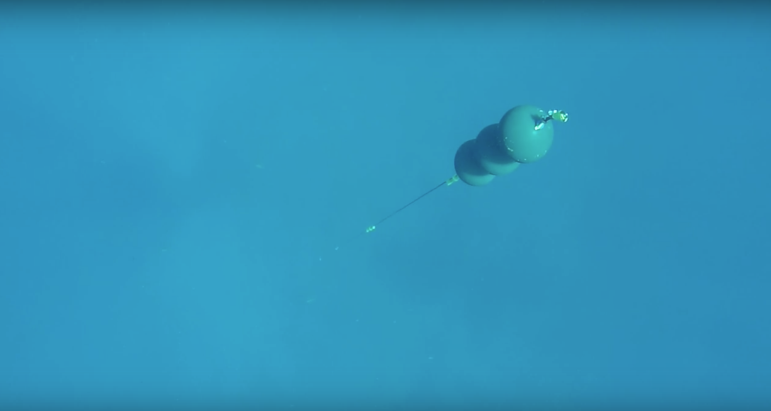
- top of our thermistor (temperature sensor) chain
-
- bottom of our thermistor chain (with a CTD)
-
- Conductivity, Temperature, Depth (CTD) profiling instrument to get vertical profiles of salinity and temperature
-
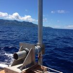
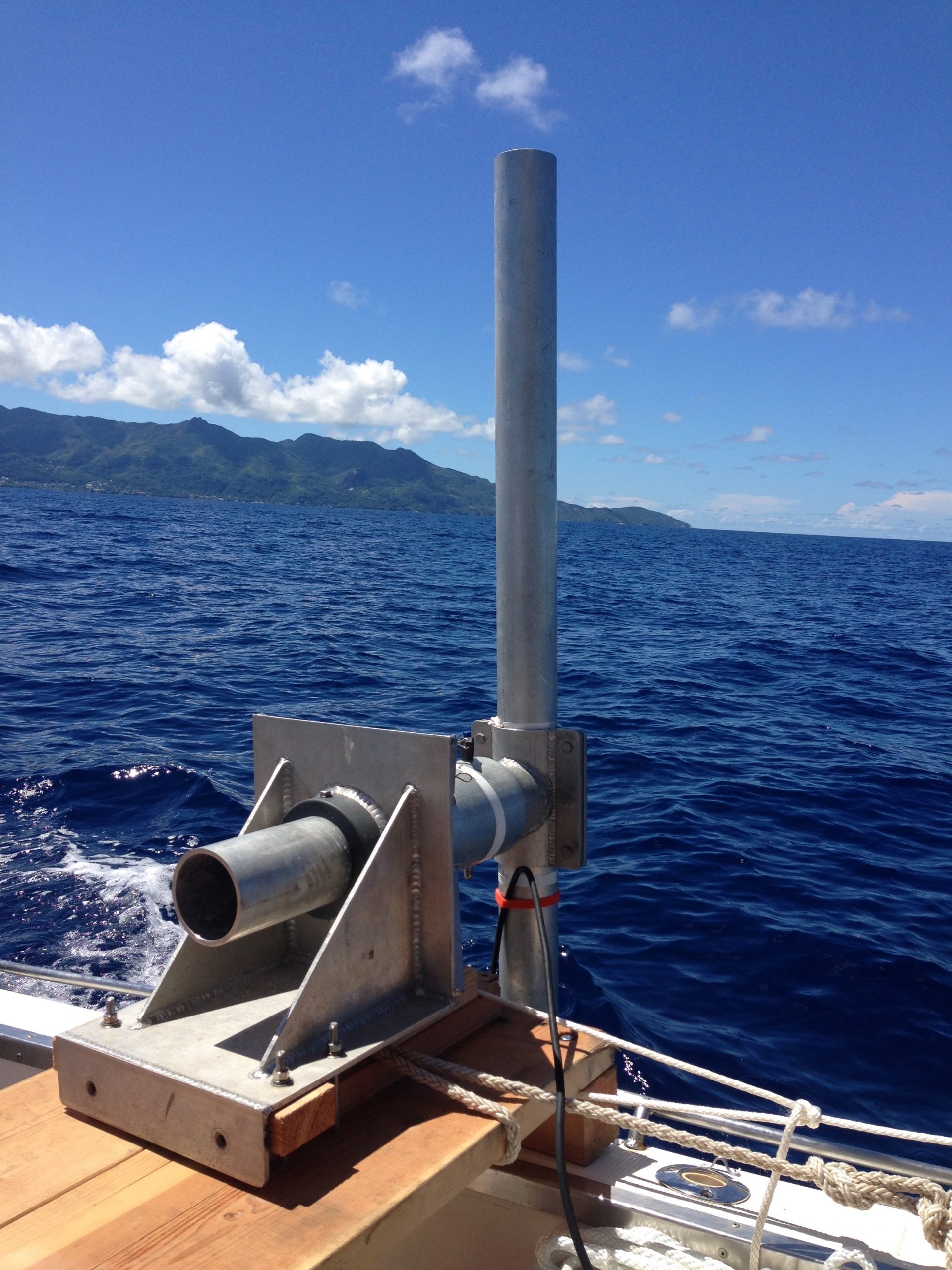
- boat-mounted transect measurements with an ADCP mounted at the end of this pole!